Weather warning for Snowy Mountains
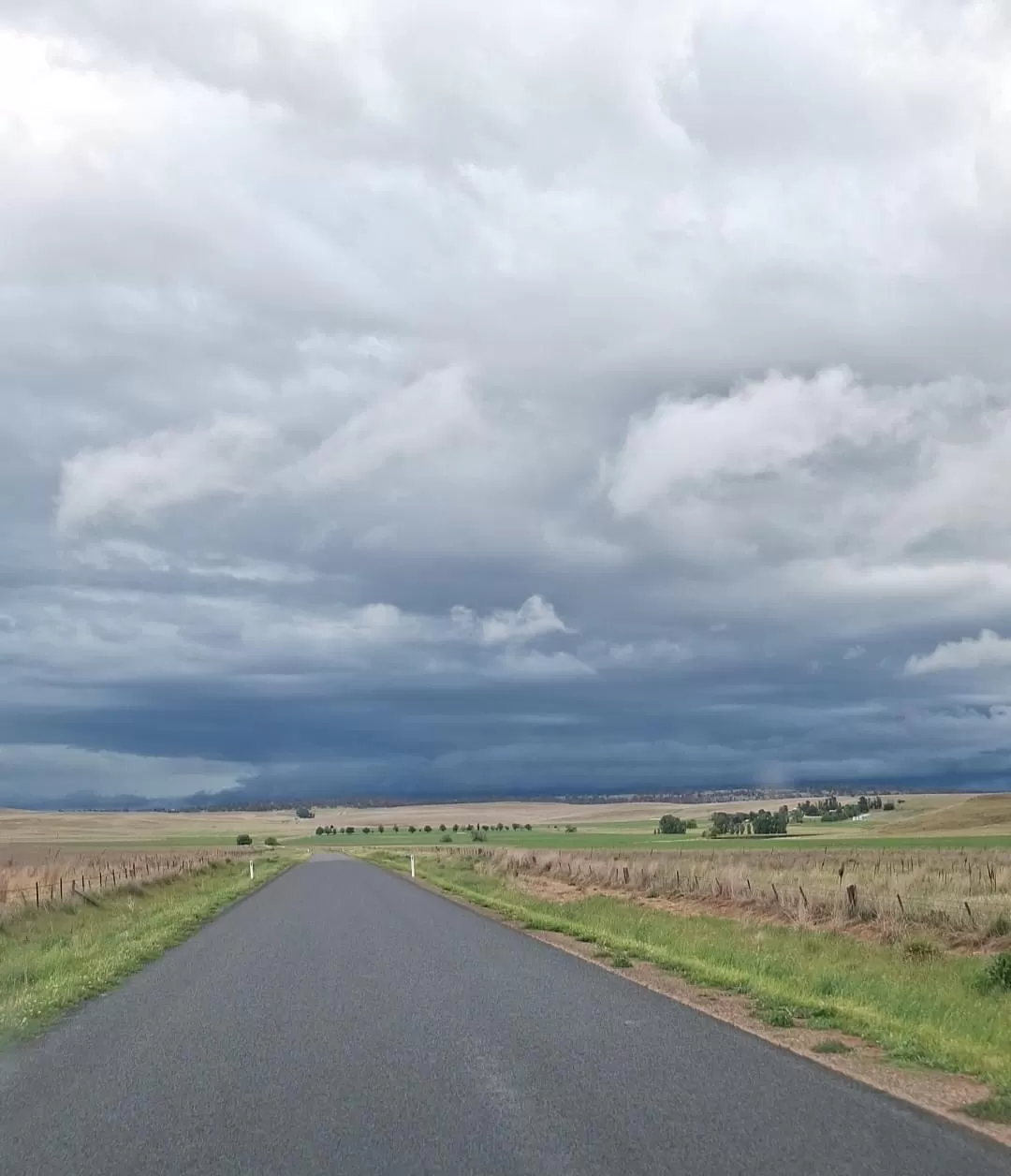
Rain in the Snowy Mountains will develop throughout Tuesday before increasing in intensity on Wednesday. A low-pressure trough is located in the west of the state and extends into South Australia. A low-pressure system is expected to deepen within this trough over South Australia this morning, then move slowly east across southwestern districts during the day, the Bureau of Meteorology(BOM) said. “The low is forecast to reach the southern coast and Snowy Mountains on Wednesday before moving southward into Bass Strait on Thursday, with showers and rain increasing about the south coast,” the BOM said. On Tuesday there is a very high chance of rain, most likely during this afternoon and evening. The chance of a thunderstorm. Winds east to north-easterly and light becoming north-easterly 15 to 20 km/h in the middle of the day then tending east to north-easterly in the early afternoon. On Wednesday, there is a very high chance of rain. The chance of a thunderstorm. Heavy falls possible. Winds easterly 15 to 25 km/h tending south-easterly 15 to 20 km/h in the middle of the day then becoming light in the evening. Predicted falls of 20-50mm are possible in Cooma and surrounds. South-eastern parts of the Snowy Mountains could be subject to the highest falls with Bombala expecting up to 90mm. Sheep graziers are warned that cold temperatures, rain and showers and easterly winds are expected during Tuesday and Wednesday. Areas likely to be affected include the Illawarra, South Coast, Southern Tablelands, Snowy Mountains, and Australian Capital Territory forecast districts and parts of the Central West Slopes & Plains, South-west Slopes and Riverina forecast districts. There is a risk of losses of lambs and sheep exposed to these conditions. 📸 Luke Treadwell.

2

0